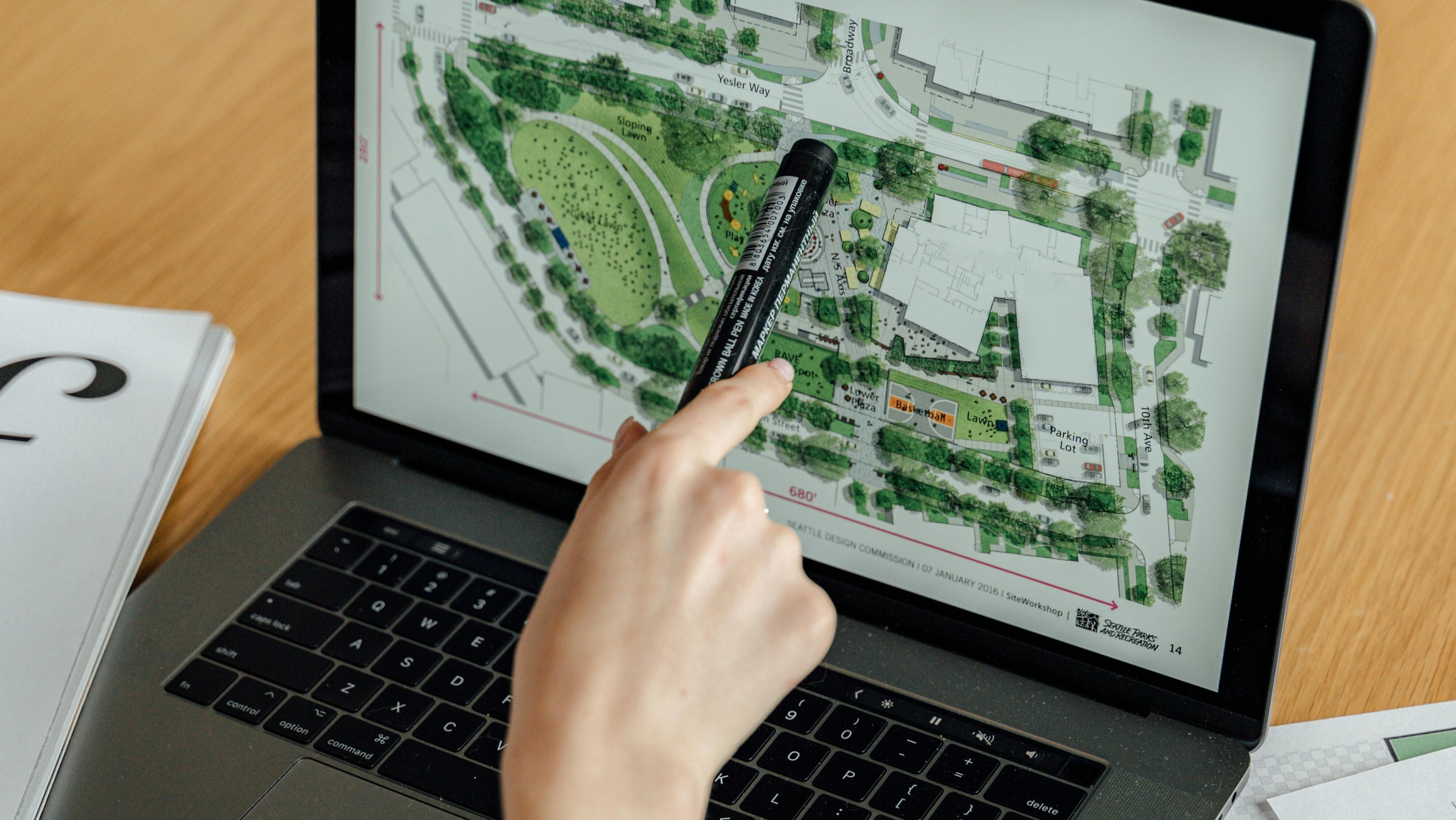
There's nothing new about the saying "a picture is worth a thousand words," but lately, it feels more relevant to technology than ever before. It seems intuitive that the world of software is becoming more visual, but there's a lot more to it than that. A recent 20for20 white paper, Visual Revolution, detailed a set of real-world use cases involving an ever-growing number of multifamily applications. The descriptions show how maps that visualize physical properties are becoming integral to both the resident experience and our ability to analyze and understand real estate. But there's a deeper idea here that's much more indicative of where this trend may go: maps also unify the experiences and processes that the software supports.
A Definitive Source of Truth
That may not sound intuitive, but stay with me. Maps are not just useful for orienting people around a property, helping prospective residents understand layouts, or assisting with property analysis. They are increasingly necessary for organizing and accessing data in an increasingly automated and tech-enabled world.
The paper uses the example of how leading multifamily AI provider EliseAI, uses digital maps to train its AI to answer detailed questions about the communities where it operates. It is easy for AI to understand exact room dimensions, floor layouts, and distances to provide better-quality answers than traditional systems and far more quickly than team members could.
Another example in the paper is Kairos Water, whose leak detection systems typically include around 1,200 sensors deployed in a multifamily community. The location of the sensors is vital to monitoring and understanding issues that frequently have to be addressed urgently.
In both cases, the maps are the source of truth from which high-impact software gains leverage. But the interaction between the technology and the map also creates data that—if organized properly—creates bigger improvement opportunities. Sensor locations, routing for property tours, feedback from prospect conversations about particular units, and so on are all new pieces of information that can be useful for multiple purposes. And they are all to do with location.
A Ledger for the Physical Property
The paper introduces the concept of "the ledger for the physical property." If we think about how a ledger functions for most companies, it serves as the ultimate source of truth for all cost and revenue items in the business. The opportunity with digital mapping is similar—where the map becomes the source of truth for anything related to the physical location of objects or features within a property.
For instance, if there are 1,200 sensors in a property, and a map-based application places them around the property, that data could be useful for other purposes. For example, a maintenance app regularly accessed by site teams could benefit from knowing where all the sensors are. Further, an AI-enabled maintenance app could process far more data points if this information were available.
That is where the concept of the ledger comes into play. To capitalize on the opportunity to know everything about a property, it's not just about having various maps in different apps. We need a single, definitive map for every property that can be accessed by any app that needs it, with the ability for each app to add its own data (like entries on a ledger).
For example, wayfinding—tracking the paths that maintenance technicians take around the property—could be stored along with the digital map. That information may be useful for specialist service providers, furniture companies, or others who visit the property infrequently but need to know where to park or how to navigate to specific areas.
If we think of these data elements as nodes that can be attached to the property map, we can see how a wealth of useful insights could accumulate over time. EV charging companies, for example, might need access to parking maps and power sources. A company hired to do unit turns or renovations could save time by having access to wayfinding paths for its subcontractors.
The current alternative, training AI on a limited subset of facts manually entered into property management systems, is clearly suboptimal. AI tools are already far too powerful to rely for its understanding of a multifamily community upon words typed by property staff.
What has been fascinating in the research with the 12 companies that contributed to Visual Revolution is that a/ the technological change that visualization is enabling is revolutionary and that b/ the technology users largely don't see it as such. Think of how mapping technologies enabled Travel Websites, Uber, and so on. If you haven't already downloaded the paper, take a look—it will change how you view the evolution of core technologies in our industry.
Photo by Antoni Shkraba on Pexels


